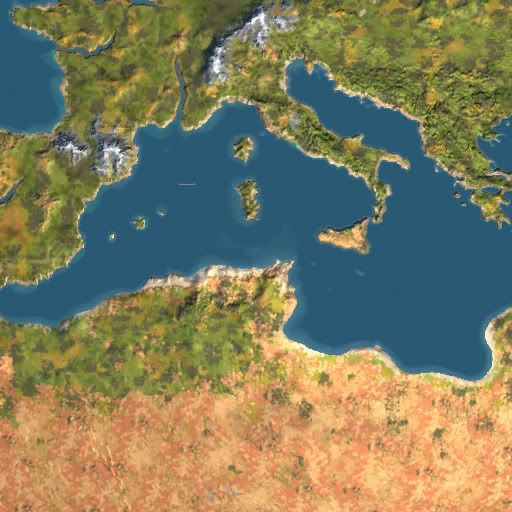
The map is centred on an area between Tunisia and Italy, however countries like Spain, Switzerland, Germany, Greece, Morocco, Algeria, and Libya are also present.
I have a few questions that I hope someone more experienced can help me with!
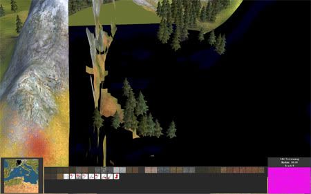
1) The Editor produces a thumbnail.dds with only part of the map, is there a way to make it do the entire 18x18 area?
2) The Editor limits the area I can edit, I guess there's no way to get it to show the entire 18x18 map?
Any comments or ideas for the scenario are very welcome!